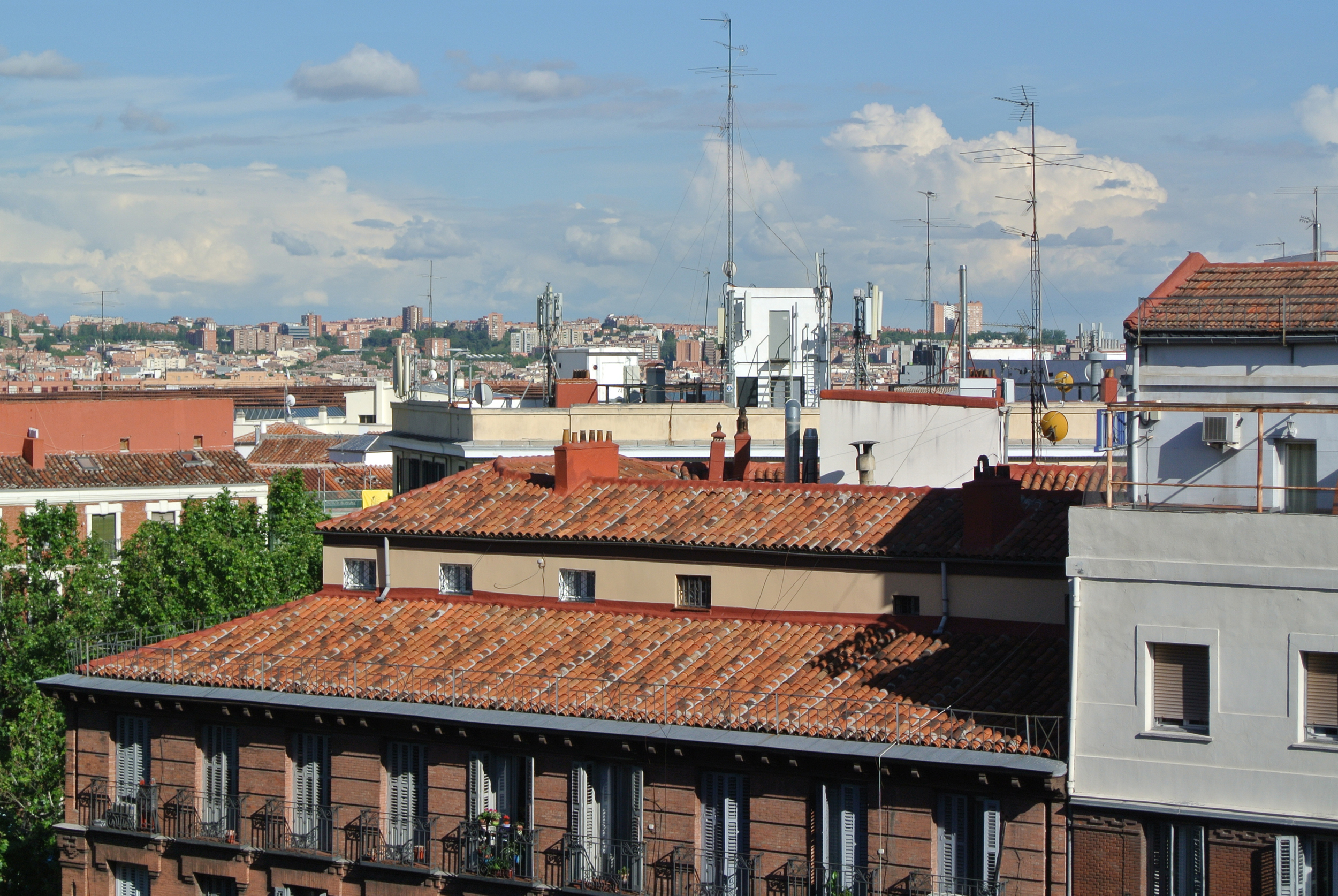
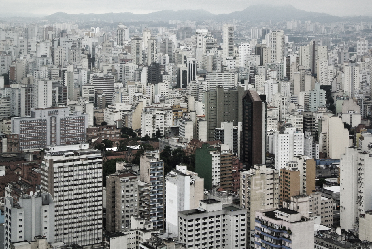
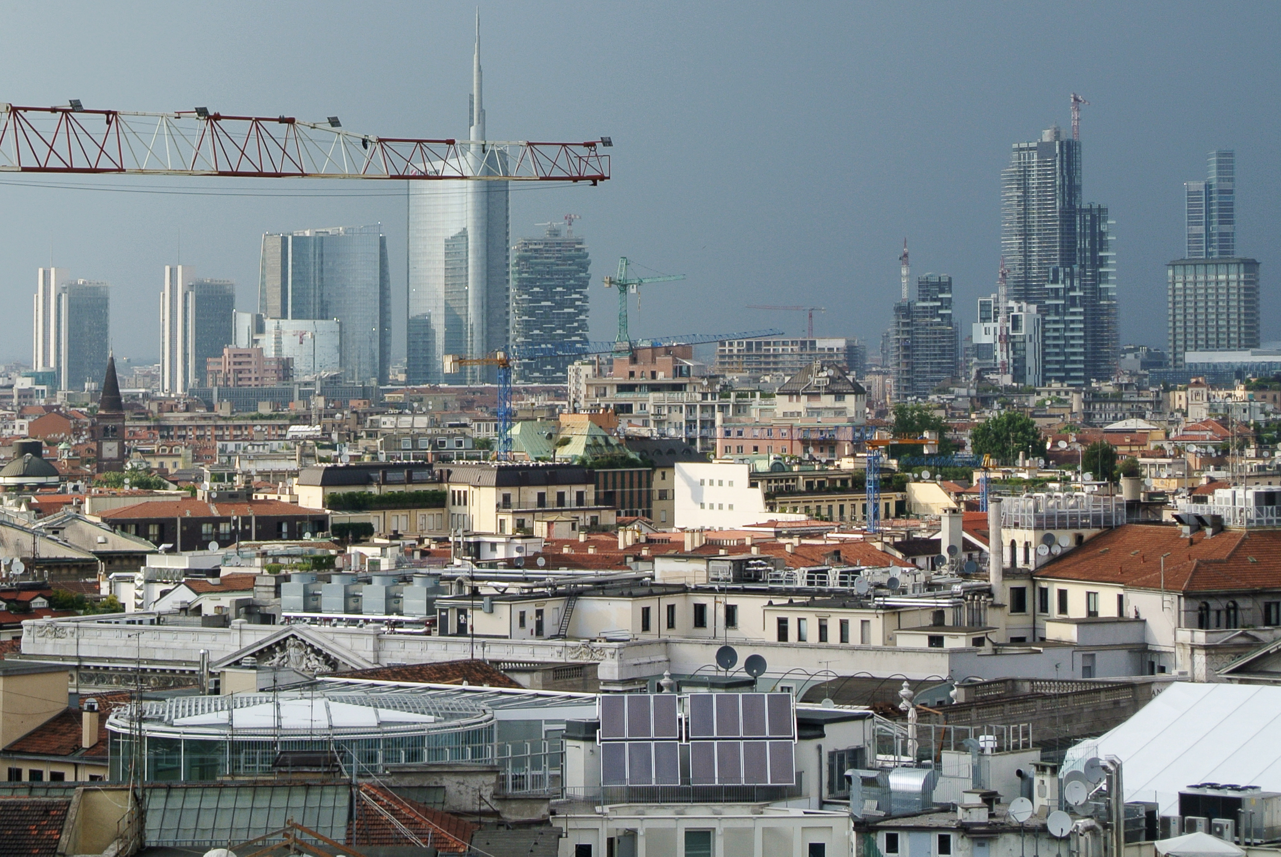
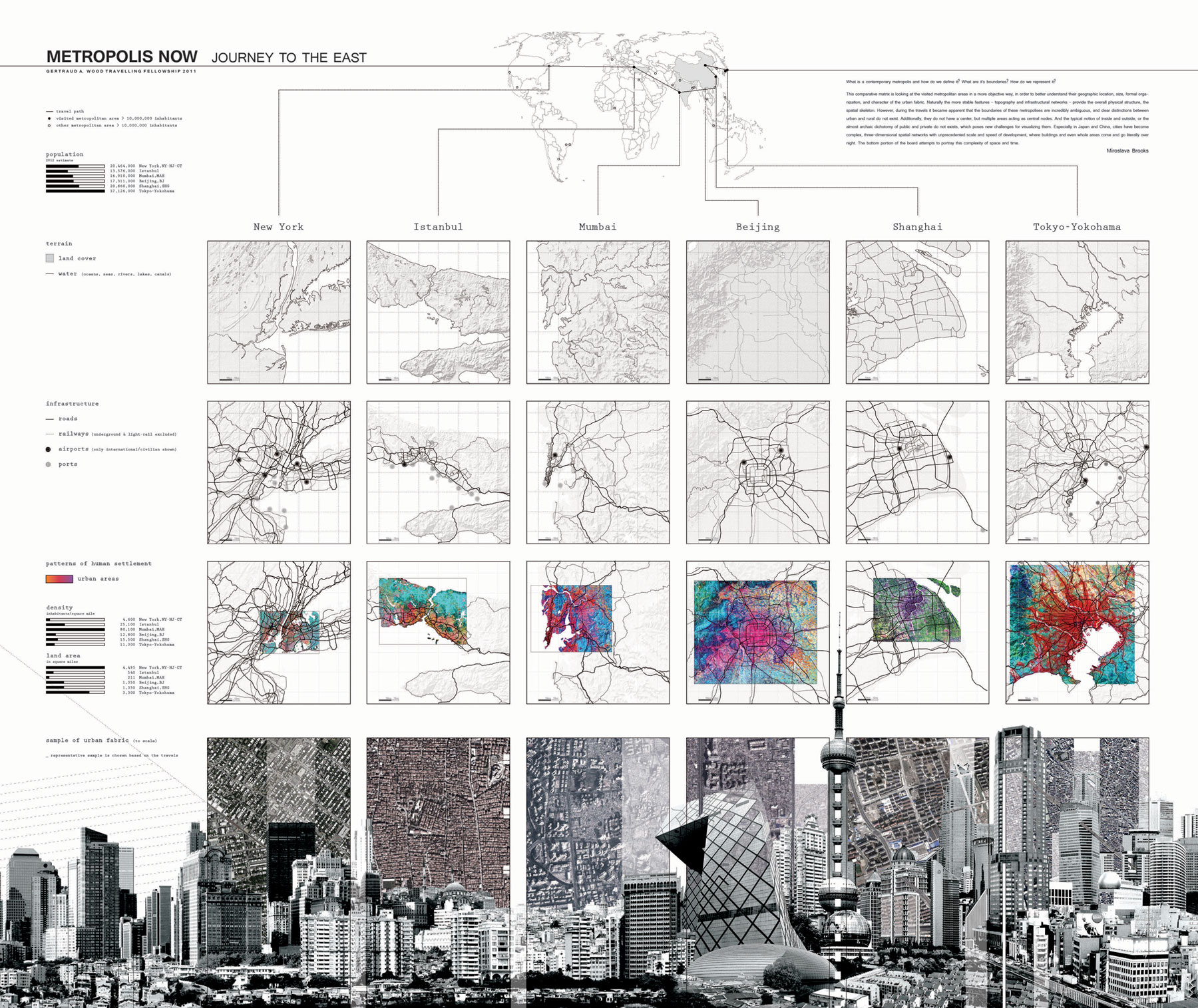
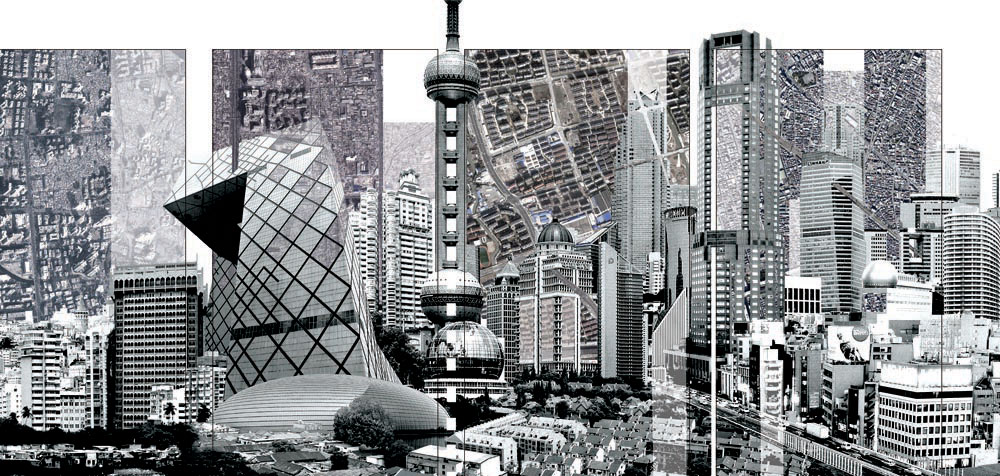
This comparative matrix is looking at the visited metropolitan areas in a more objective way, in order to better understand their geography, size, formal organization, and structure of the urban fabric. Naturally, the more stable features - topography and infrastructure networks - provide the overall physical structure, the spatial skeleton. However, while travelling it became apparent that the boundaries of these metropolises are ambiguous, and clear distinctions between urban and rural do not exist. Additionally, they do not have a center, but multiple areas acting as central nodes, and the typical notion of inside and outside, or the almost archaic dichotomy of public and private, do not exist, which poses new challenges for visualizing them. Especially in Japan and China, cities have become complex, three-dimensional spatial networks with unprecedented scale and speed of development, where buildings or even whole areas come and go literally over night.
The bottom portion of the board attempts to portray this complexity of space and time: